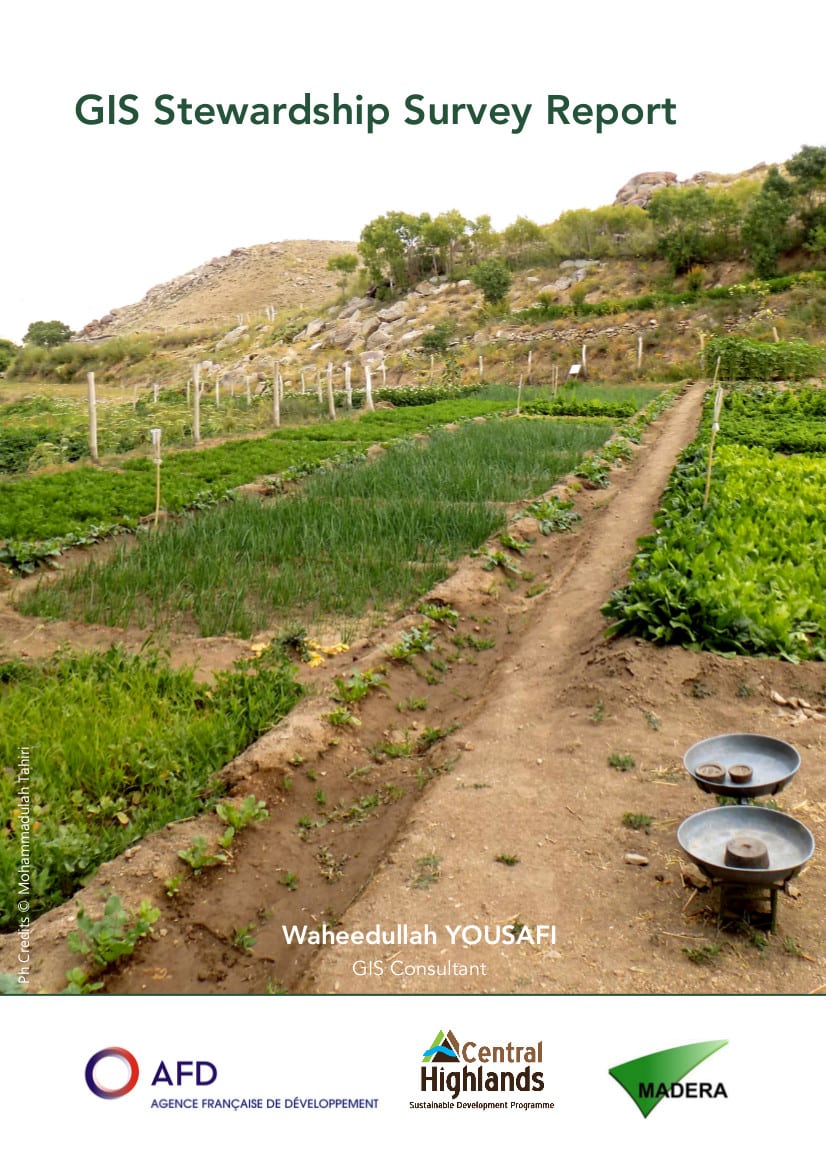
GIS Stewardship Survey Report – Central Highlands

This study is part of the Central Highlands Programme in Afghanistan. This programme, funded by the French Development Agency (AFD), is conducted by Geres, and implemented in consortium with MADERA and Solidarités International. The aim of this programme is to increase living standards and quality of life of mountainous people living in rural areas of the Central Highlands Region of Afghanistan through natural resources management and promotion of rural development.
This report describes an assessment and findings on natural resource management in the three districts namely Behsud I and II and Yakawlang of Maidan-Wardak and Bamyan provinces respectively. The survey aimed at producing relevant knowledge for producing Geographic information System (GIS) maps of the existing irrigation and watershed systems and infrastructure in the project areas. They are to be used in the program in order to ensure improved management of water resources, and to be disseminated to institutional stakeholders, NGOs and actors involved in designing and implementing the Provincial Development Plan.
During the survey, 1035 canals were identified in the mentioned three districts, and 853 of them (82.5%) have been surveyed.
Bamyan has plenty of water resources, it can suffice the irrigation needs of not only Bamyan province but other neighboring provinces if properly managed and there are many opportunities for agricultural improvement in the fields of animal husbandry, pasture improvement, agricultural productivity, watershed management and irrigation system improvement. Therefore, the extracted information through this GIS stewardship survey can be used for the planning of the rural communities within these districts.
Information
- Edition: AFD
- Author: Waheedullah YOUSAFI
- Year: 2017
- Language: English
- Pages: 23
DOWNLOAD
WOULD YOU LIKE TO TAKE ACTION
AND SUPPORT WHAT WE DO?
Tell us who you are and find your means of action.
